Report on the meeting of 25 July 2024
Mapping Worlds
President Greg Smye-Rumsby rescued the meeting following a late change of speaker. As a result, we were able to enjoy his well-researched review of the evolution of mapping, from the early maps of Eratosthenes (276–194 BC), through the 14th century Mappa Mundi, Mercator’s 16th century projection and the first Ordnance Survey (1801). He explained how they were dictated by the available knowledge at the time, and by the purposes for which they were designed, including navigation and war.
It seemed that the current world map was a synthesis of French revolutionary science, and an international consensus which led to Greenwich being established as latitude 0˚and to the accepted criteria for longitude and latitude.
Mapping the solar system created new demands. The internal optics of different types of telescopes presented differing orientations, the moon and planets lacked features recognisable by earthlings, and the gas giants challenged the idea of a static point from which to measure.
Greg took us through the thinking which had led to agreement on how such issues could be addressed – and why this was a particular issue for the first moon landing.
On the way we learned about optics, flat-earthers, the “dark side” of the moon, stromatolites, and the successes of Luna 3, Mariner 4 and Voyager 2.
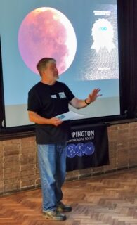
The lecture was brilliantly illustrated and delivered in Greg’s trademark exuberant style at 100 facts a minute.
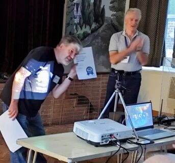
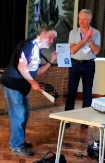
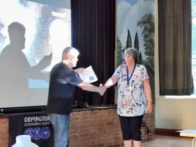
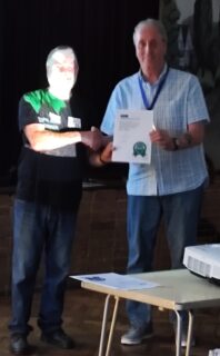
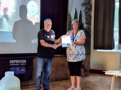
Below are photographs of the talk and presentations of certificates for the 2024 Astro Photography Competition.
